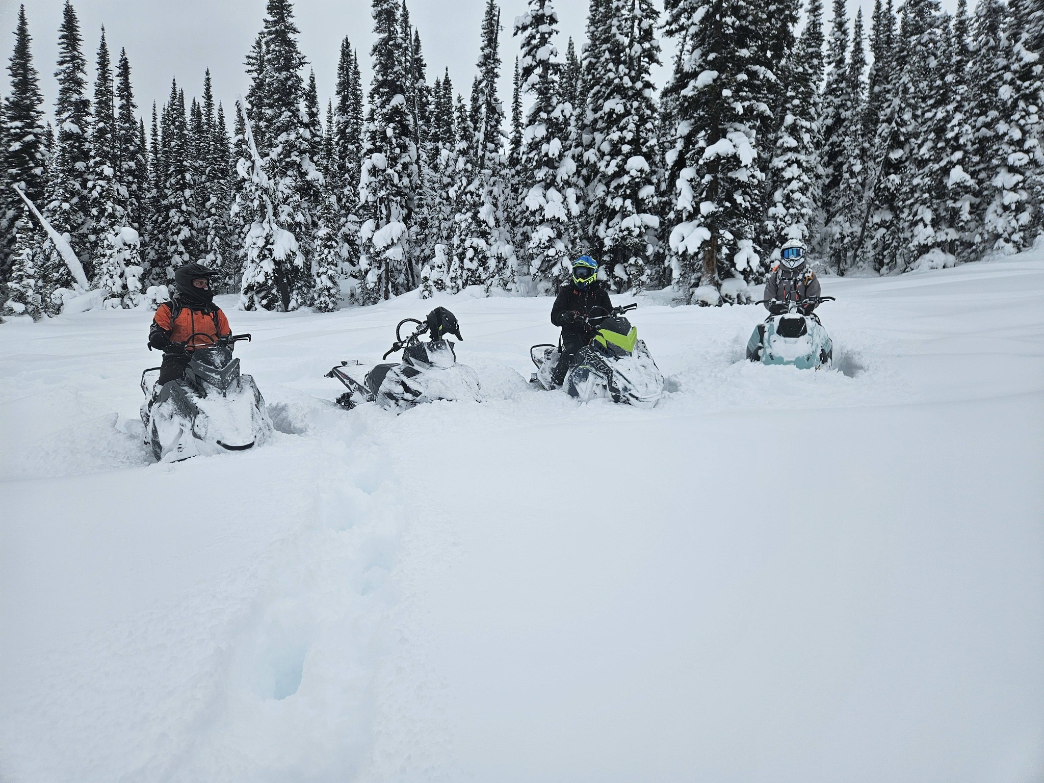
New to the Robson Valley last season! Tommy Creek Snowmobile Trail, McBride.
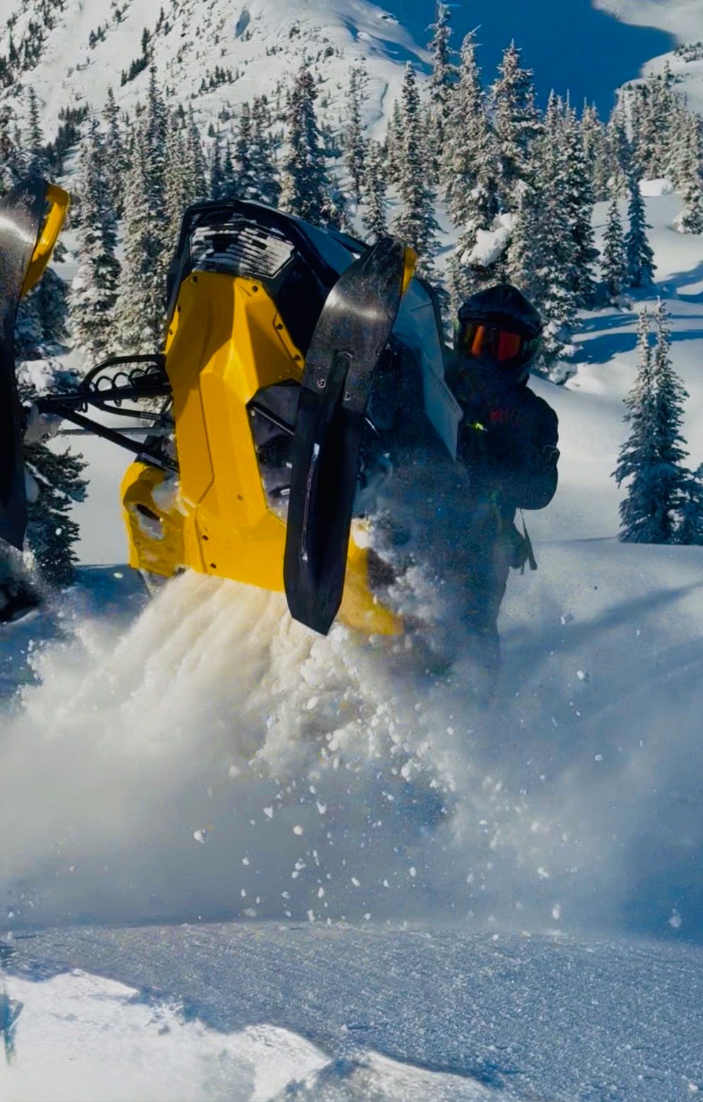
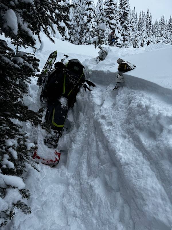
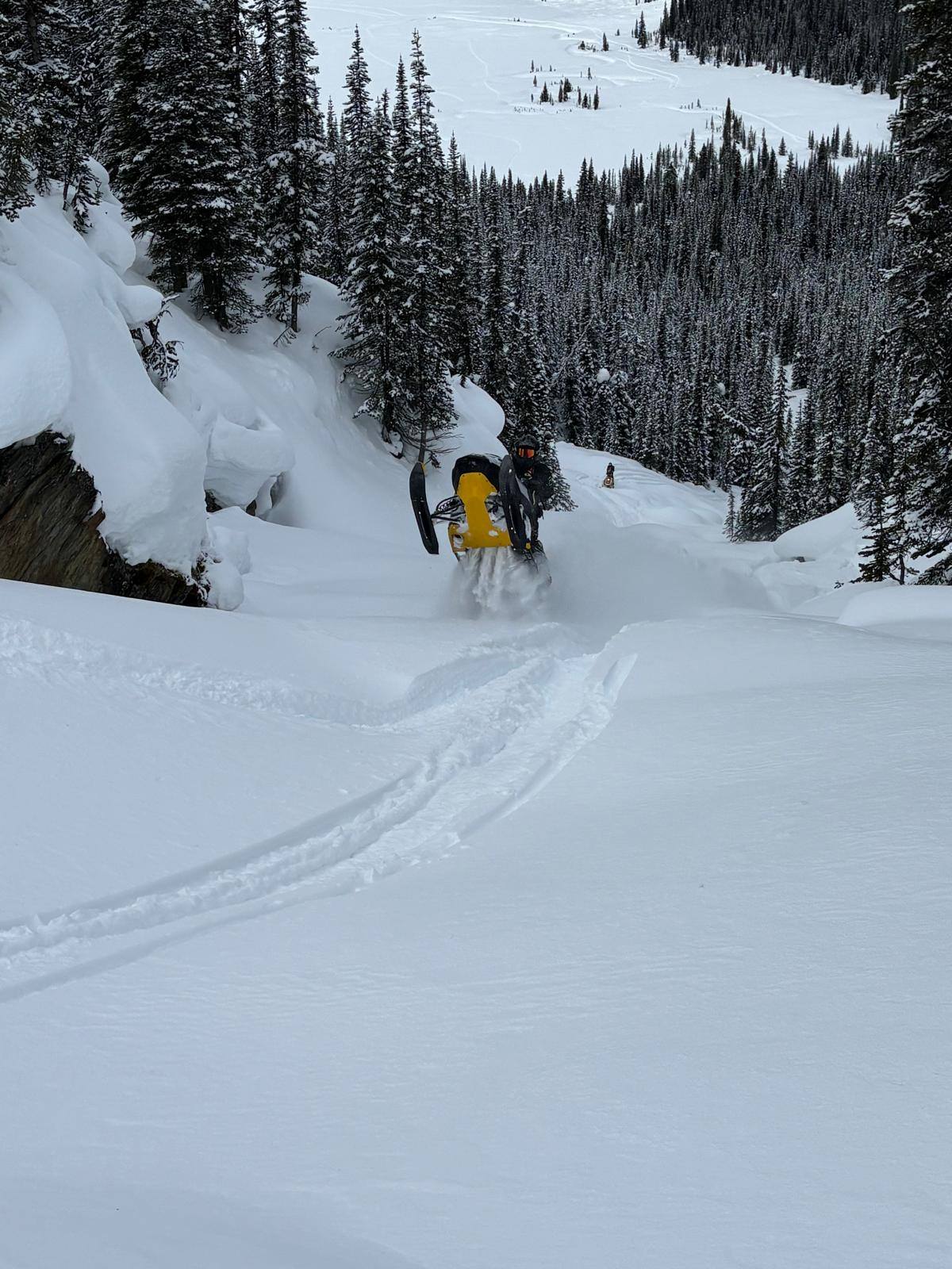
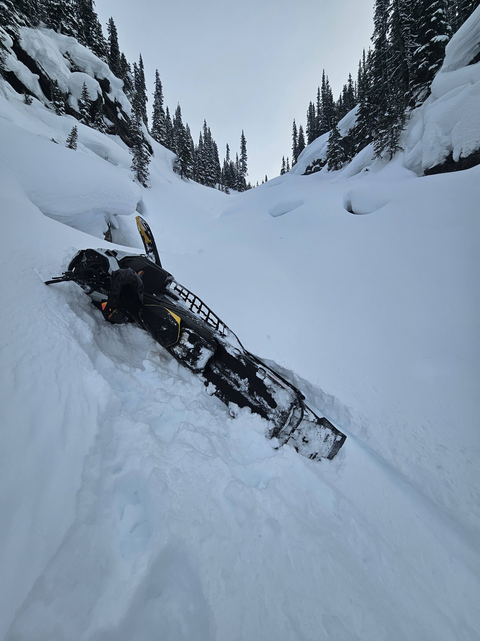
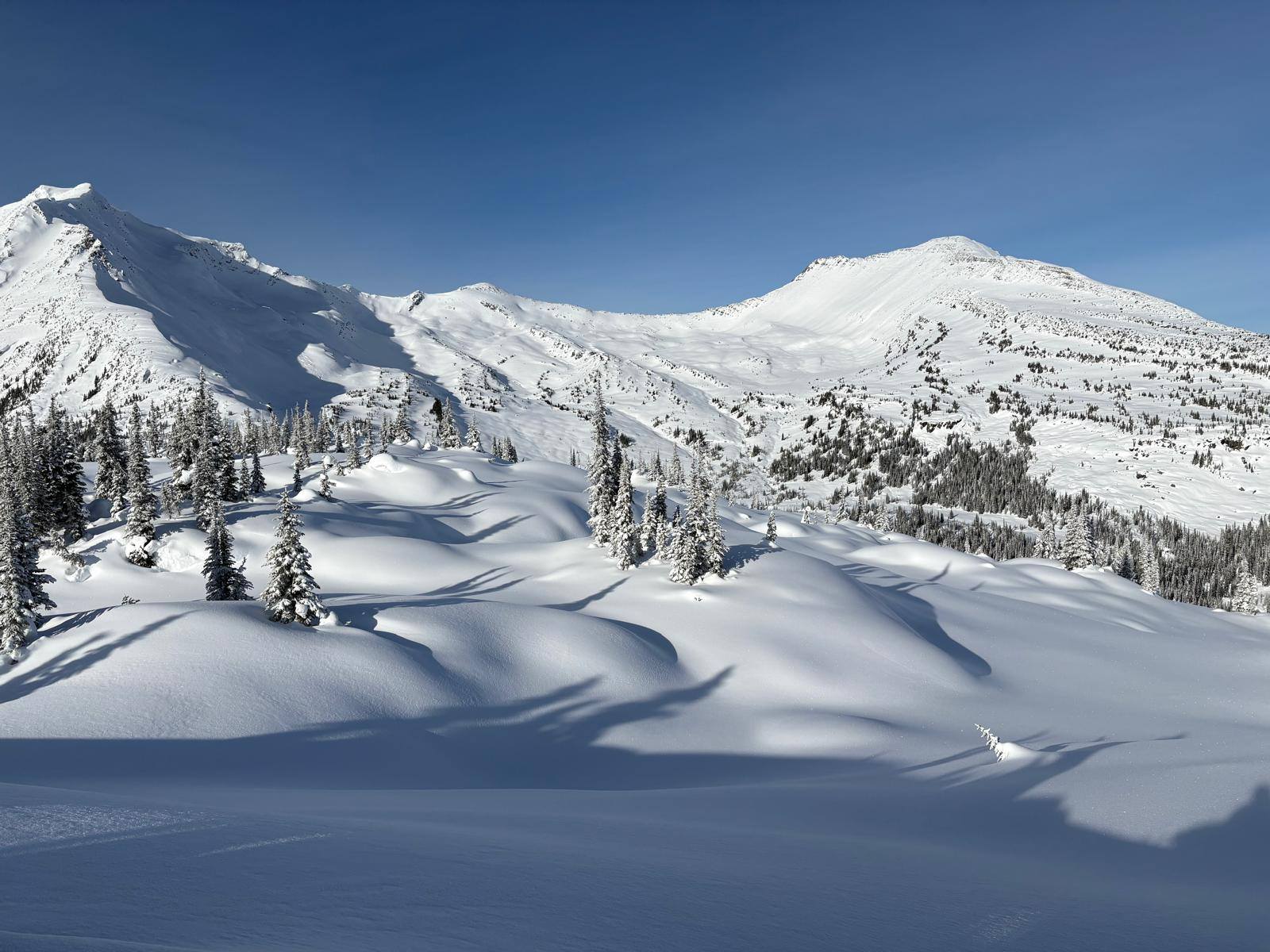
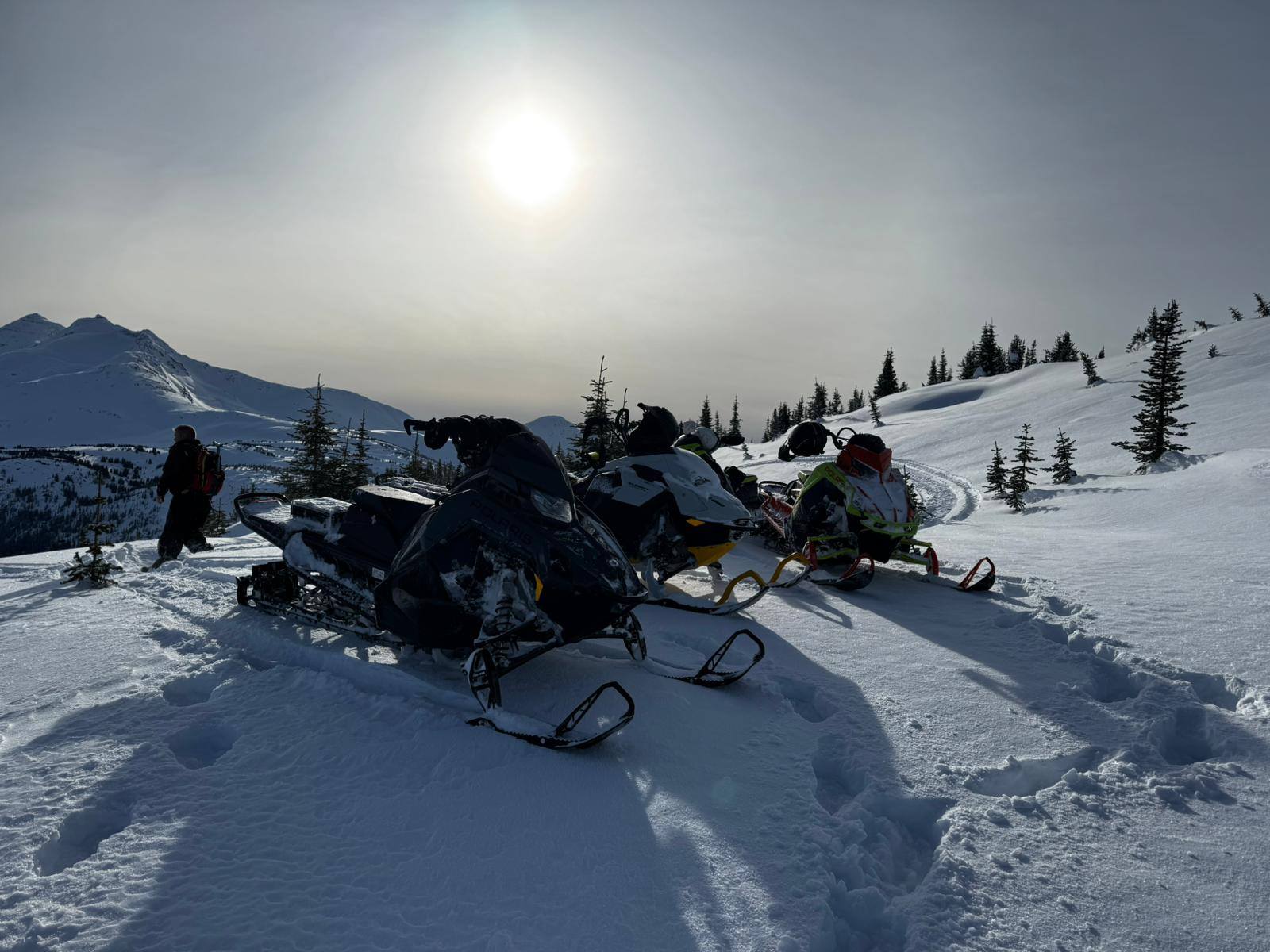
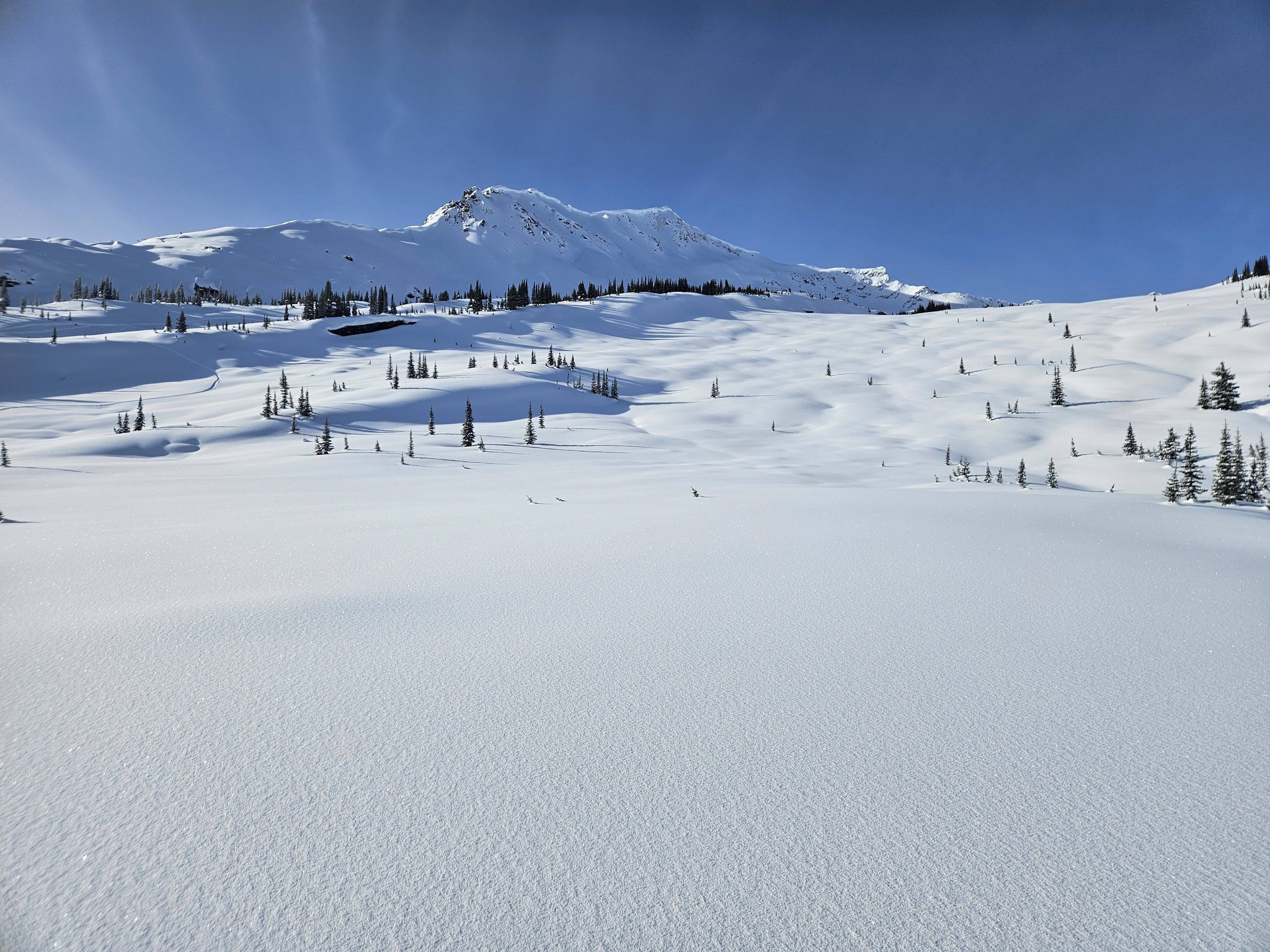
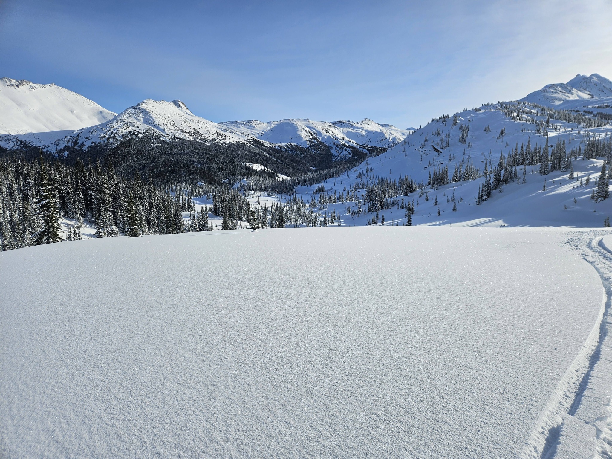
Next door to the Renshaw and almost as big. This area is for the Intermediate and Advanced / Expert rider. The terrain varies from valley meadows, creeks, to super steep alpine climbs, and has some of the best tree riding in the McBride area.
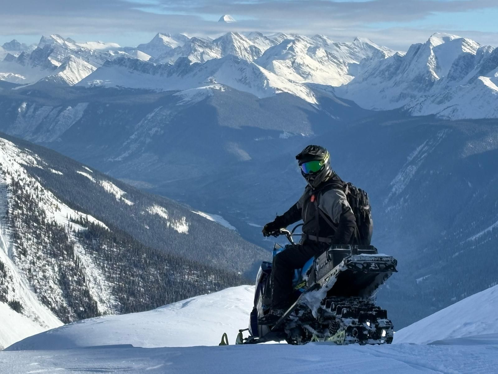
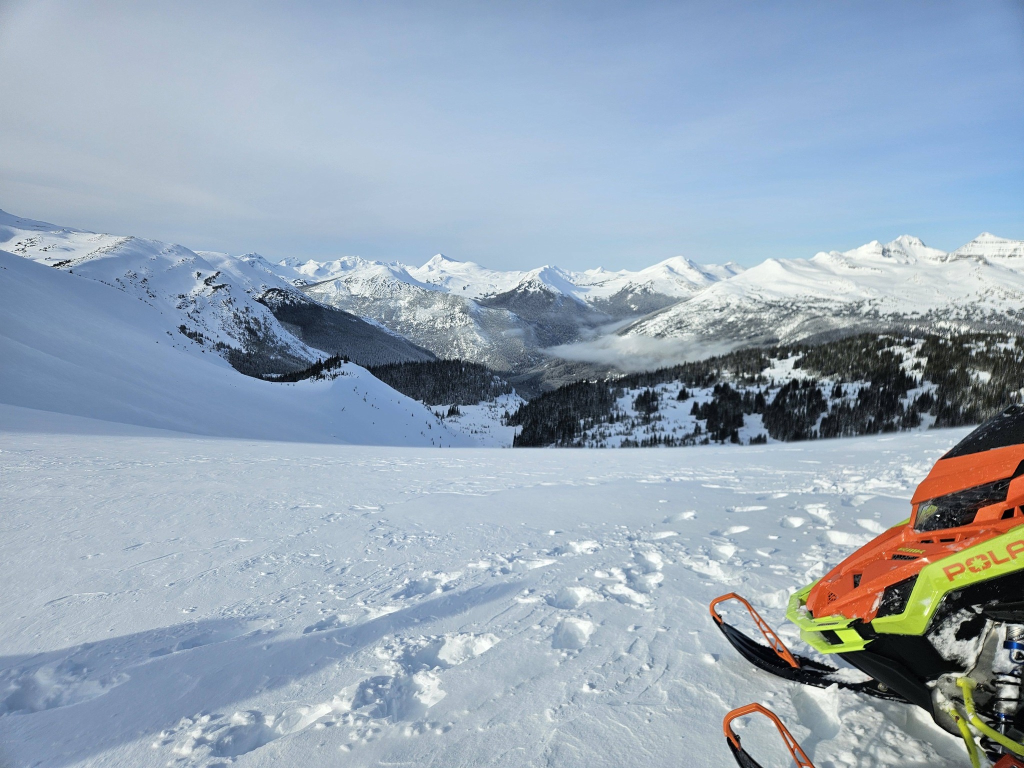
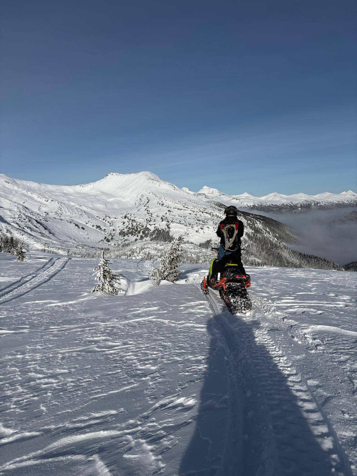
Photo credit: Dustin Folvik
Dustin’s photo above won the Destination BC / Lets ride BC Beautiful seats Braap and Snap photo contest and will be used in their marketing campaign at the 2026 FIFA World Cup Soccer Tournament. The photo was taken in the Tommy Creek area and is looking out over the Holmes River Valley with the Horsey Creek snowmobile area on the other side of the valley and the peak of Mount Robson poking through the clouds, top center of the picture.
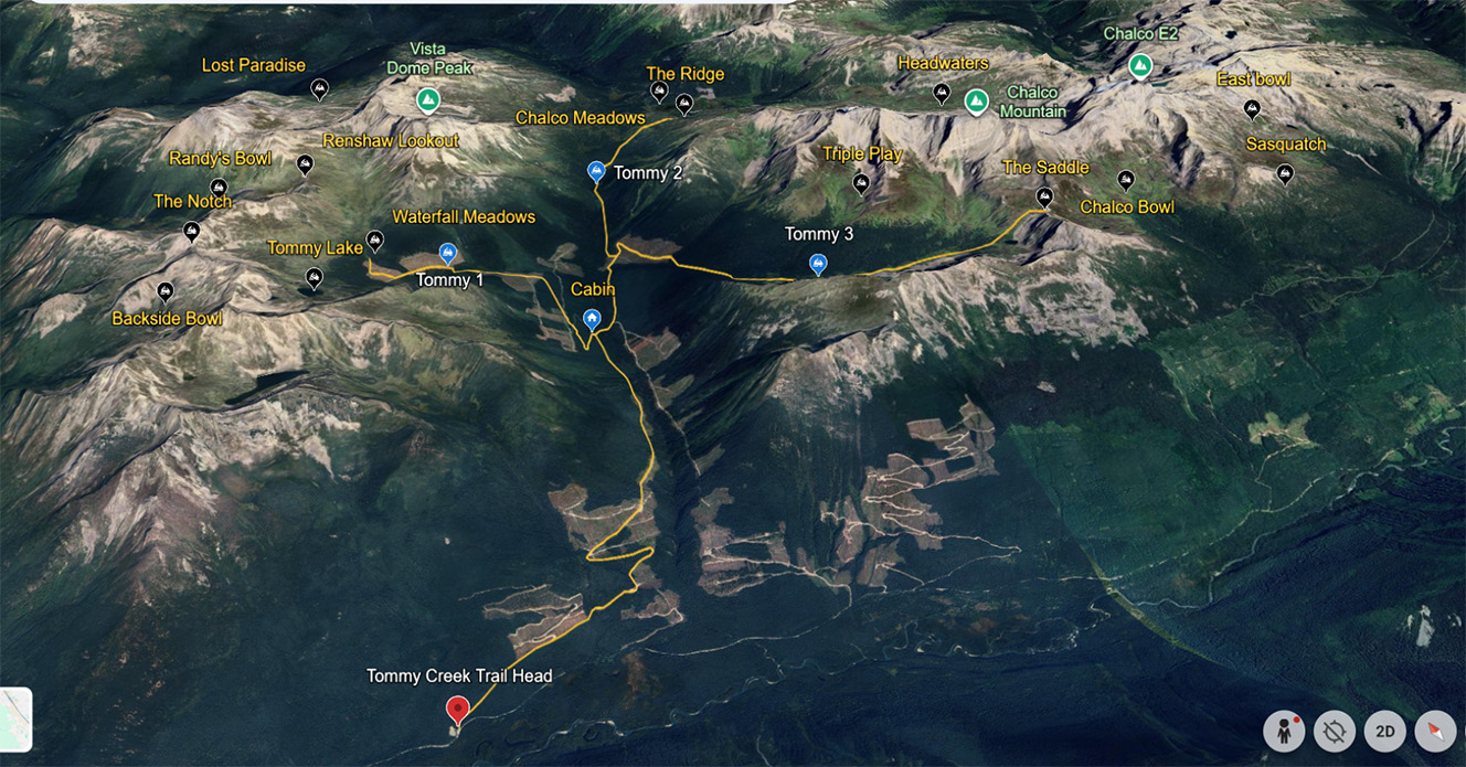
TOMMY CREEK
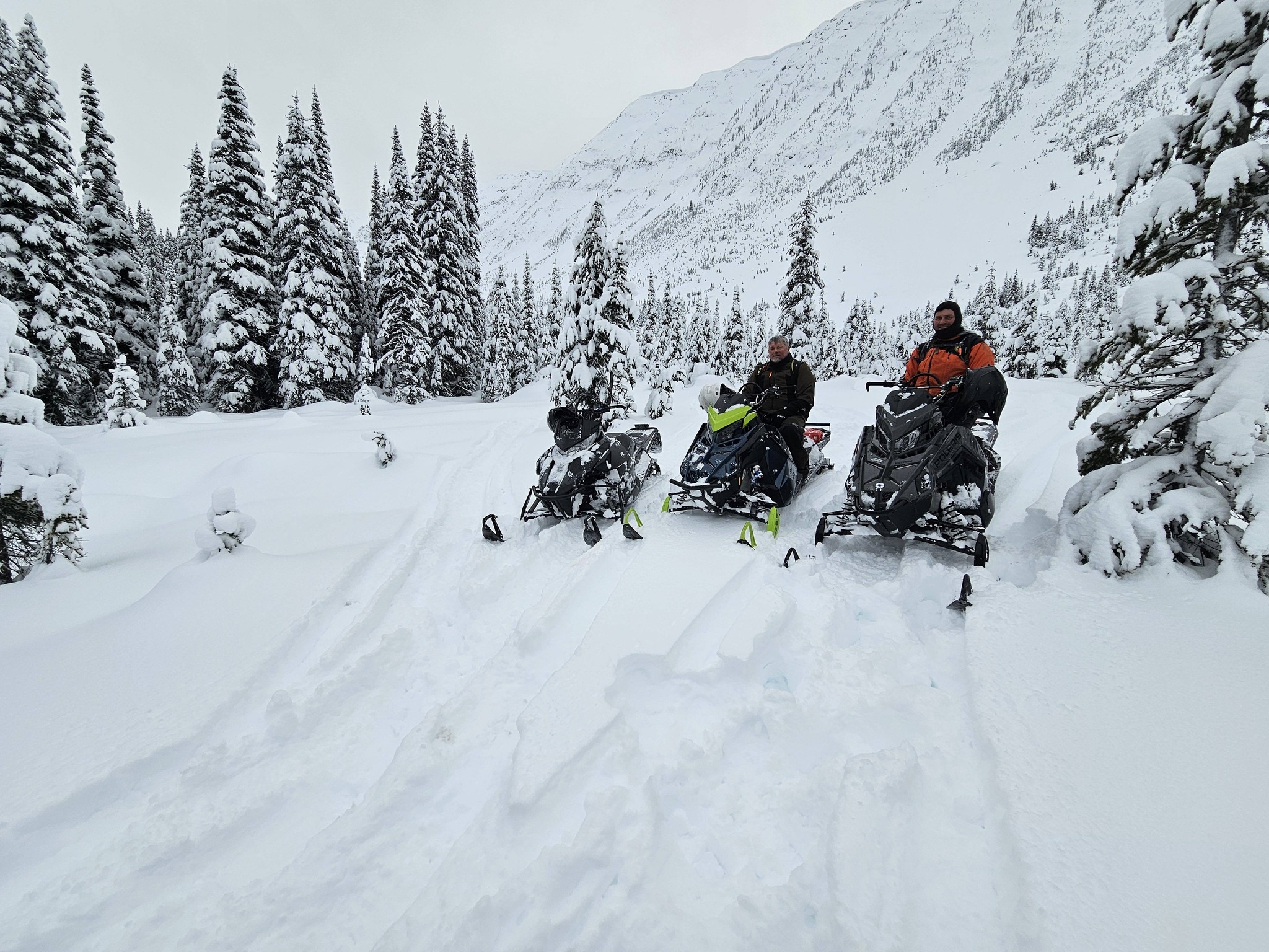
This area is accessed via the Holmes Forest Service Road, which is an active FSR. Radios are a must due to the narrow, windy nature of this road. Pullouts are small should you meet oncoming logging traffic. RADIO CHANNEL : RR 4
Head east out of town on HWY 16E for 11 kms. Cross the Holmes (Beaver) River and turn left onto Holmes FSR. Continue for 19 kms up the Holmes FSR to the staging area.
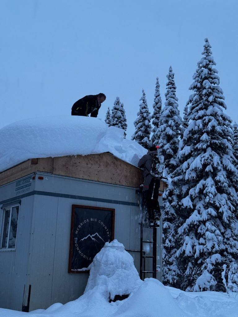
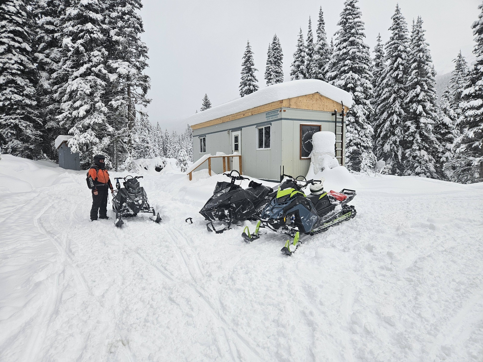
Trail info: 7 kms to the junction. This is the warm up shelter location. From here you can venture off in all directions. Riding Level: Intermediate to Advanced/ Expert Elevation Range: 800 – 2500 m Warm Up Shelter / Trail Junction GPS: 53-23-30N , 119-50-30W
This area has been a local favorite for decades. Hidden behind every ridge are many alpine bowls to be explored.
Pack spare fuel as you explore this zone. There is a warm up cabin at the trail junction GPS: 53-23-30N , 119-50-30W PACK OUT WHAT YOU PACK IN !!! Please be respectful of the area.